Introduction to Weather Radar Maps Weather radar maps play a crucial role in meteorology by providing up-to-date information about precipitation and storm activity. These sophisticated tools help meteorologists track severe weather patterns, allowing them to issue timely alerts that can save lives and protect property. As climate change continues to influence weather behavior, the importance
Introduction to Weather Radar Maps
Weather radar maps play a crucial role in meteorology by providing up-to-date information about precipitation and storm activity. These sophisticated tools help meteorologists track severe weather patterns, allowing them to issue timely alerts that can save lives and protect property. As climate change continues to influence weather behavior, the importance of accurate forecasting through reliable radar data has never been greater.
How Weather Radar Maps Work
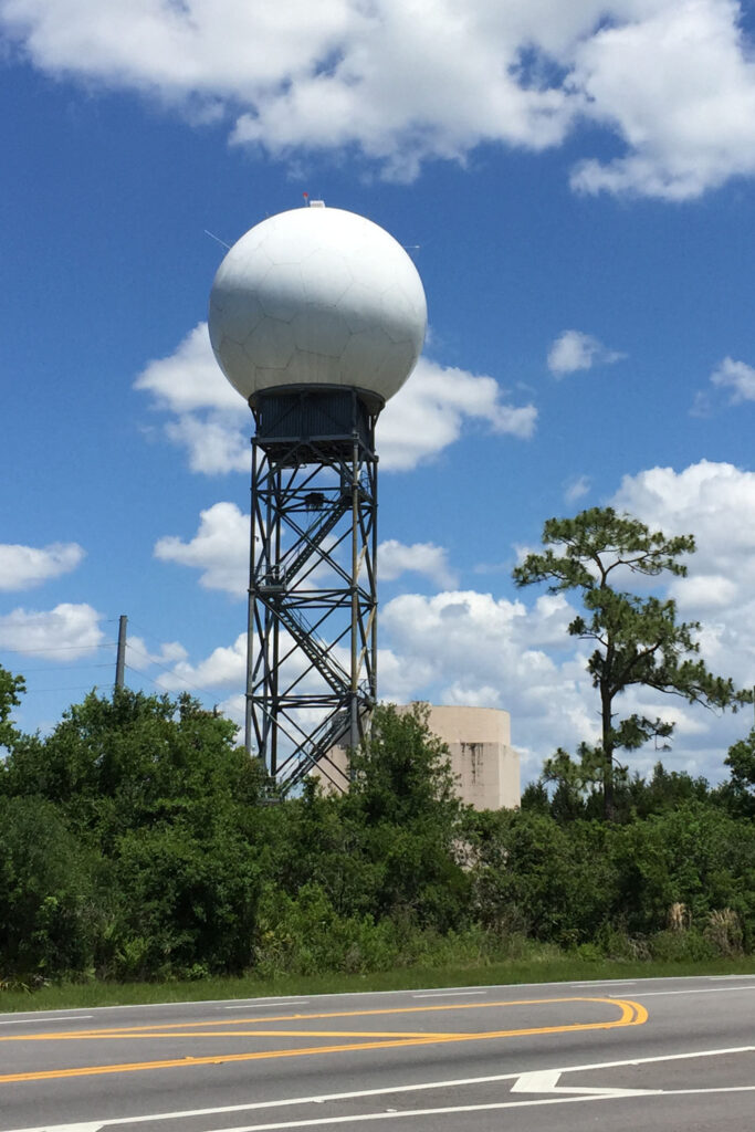
Weather radar maps utilize radio waves emitted from a transmitter to detect precipitation in the atmosphere. When these waves hit raindrops, snowflakes, or other forms of moisture, they bounce back to the radar station. By analyzing the time it takes for the signal to return and the intensity of the signals, meteorologists can assess the location, intensity, and movement of storms. High-resolution Doppler radar is especially adept at detecting wind patterns, allowing for the identification of dangerous phenomena such as tornadoes and strong thunderstorms.
Current Events and Developments
In recent months, advancements in radar technology and data analytics have significantly improved the accuracy of weather predictions. For instance, the National Oceanic and Atmospheric Administration (NOAA) reported that the integration of machine learning with traditional weather radar data has enhanced forecast models, increasing their reliability by up to 20%. Moreover, weather apps and websites are increasingly utilizing these advanced tools to provide real-time updates to the public, ensuring that individuals are informed about impending weather conditions.
Impact on Safety and Preparedness
The timely delivery of weather radar information is vital for public safety. The National Weather Service (NWS) urges residents to stay updated on weather conditions, particularly during severe weather seasons. Communities equipped with access to accurate radar information can better prepare for floods, hurricanes, and tornadoes, ultimately reducing the risk of damage and injury. Educational initiatives are being launched to ensure the public understands how to interpret radar maps and respond accordingly.
Conclusion
As weather patterns become increasingly unpredictable due to climate change, the significance of weather radar maps will continue to grow. These tools not only help experts in making accurate forecasts but also play a crucial part in community safety and disaster preparedness. As technology advances, we can expect even greater accuracy and accessibility in the future, emphasizing the need for ongoing education about how to use this valuable information. Understanding weather radar maps is essential for everyone, ensuring we can navigate through stormy conditions more safely.