Introduction Snow accumulation maps play a crucial role in understanding winter weather patterns and preparing for potential impacts. As winter approaches, meteorologists and forecasters use these maps to provide accurate predictions of snow depth in various regions. These visual tools are essential for individuals, businesses, and governments to make informed decisions regarding travel, safety, and
Introduction
Snow accumulation maps play a crucial role in understanding winter weather patterns and preparing for potential impacts. As winter approaches, meteorologists and forecasters use these maps to provide accurate predictions of snow depth in various regions. These visual tools are essential for individuals, businesses, and governments to make informed decisions regarding travel, safety, and resource management.
What are Snow Accumulation Maps?
Snow accumulation maps display the expected amount of snowfall for specific areas over a designated time frame, often highlighting regional differences. They can illustrate total snow accumulation over 24 hours to several days. These maps are generated using sophisticated meteorological models that analyze various factors such as temperature, humidity, wind speed, and precipitation types.
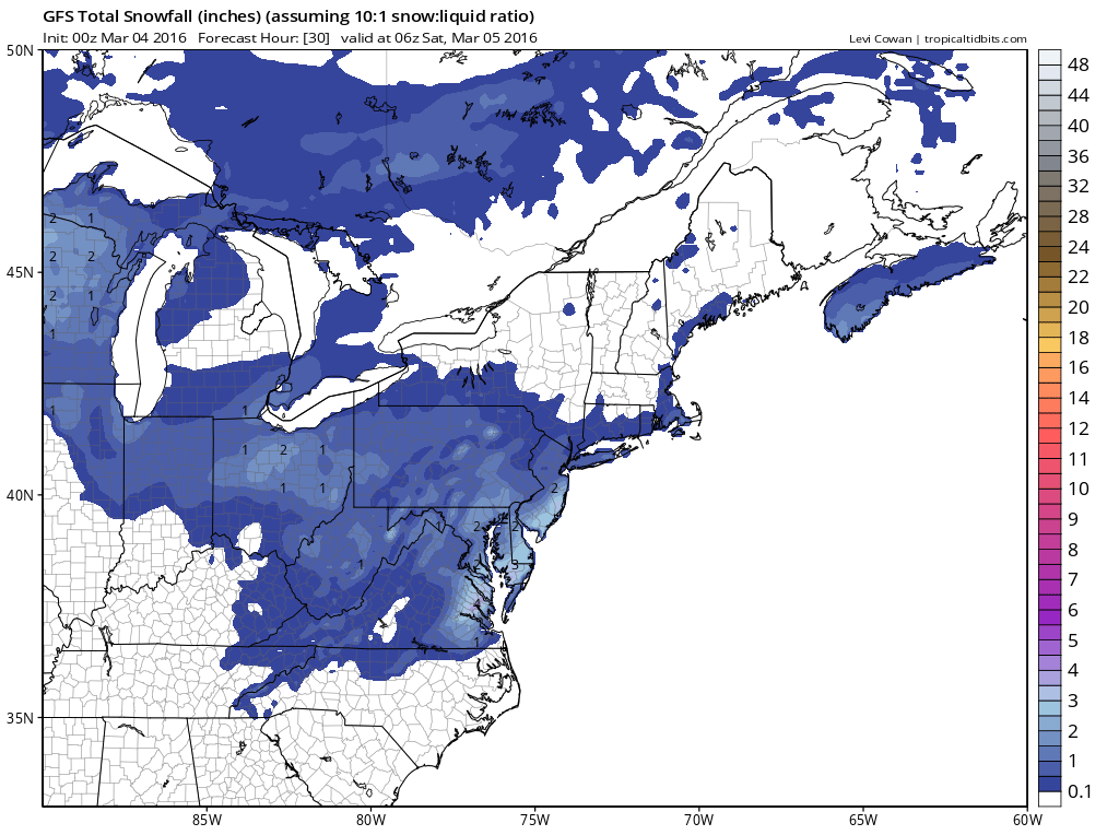
Current Weather Trends
This winter season, many regions across the United States are experiencing extreme weather patterns. According to the National Oceanic and Atmospheric Administration (NOAA), parts of the Northeast and Midwest are expected to face significant snow accumulation due to ongoing storms. For instance, states like New York and Michigan are predicted to receive up to 12 inches of snow within the next week. Similarly, areas in the Rockies are also seeing heavy snow, which can impact travel and local economies.
The Role of Technology
Advancements in technology have enhanced the accuracy of snow accumulation forecasts. Real-time data sharing, satellite imagery, and high-resolution radar enable meteorologists to create more precise maps. Furthermore, interactive snow accumulation maps are available online, allowing users to zoom into their specific location for localized forecasts. These tools empower residents to plan activities safely, from commuting to school to outdoor winter sports.
Conclusion and Future Outlook
Understanding snow accumulation maps is integral to navigating winter weather effectively. As climate patterns evolve, the accuracy and technology behind these forecasts will continue to improve, offering better insights into snow levels and potential hazards. For readers in areas prone to winter weather, staying informed through these maps can not only enhance safety but also enable proactive responses to winter storms. As the season progresses, continued monitoring and engagement with reliable weather updates will be essential to navigate the challenges posed by snow accumulation.